
Demervallei
Image
General Description
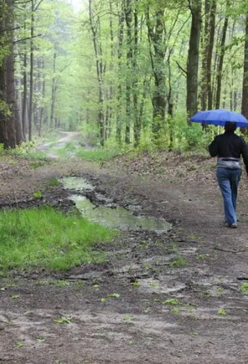
Meandering between the sandstone hills, the Demer shapes the landscape of this northern part of the Hageland and southern part of the Campine. Along its path, the river flows through a diverse landscape full of natural beauty and tourist gems. In Werchter, it joins the Dijle.
Identification
This area lies in the provinces of Flemish Brabant, Antwerp, and Limburg. Broadly speaking, it is located on the border between the Campine and the Hageland. The central axis is the Demer River, from Hasselt to its confluence with the Dijle in Werchter. The area covers more than 6,000 hectares and consists of a network of 21 large and small subareas, the most well-known being Averbode Forest and Heath.
Landscape Description
The Demer Valley is a broad, deeply incised valley with a naturally meandering river, extensive wetlands, grasslands, and forests. The southern side of the area is bordered by a series of sandstone hills, typical of the Hageland, while the relief on the northern valley flank is relatively gentle and includes a number of inland dunes. The variation in relief, soil, water, and light affects the local flora and fauna, resulting in a landscape that can differ greatly depending on where you are.
Click here for more information about the Natuurpunt area 'Averbode Bos en Heide' in this N2000-area!
Click here to go to the Bioblitz page of this Natura 2000 area.
Click here to install Obsidentify.
Photo: Demervallei, Thierry de Coninck